
Koszyk
0
Produkt
Produkty
(pusty)
Brak produktów
To be determined
Wysyłka
0,00 zł
Razem
Produkt został dodany do Twojego koszyka
Ilość
Razem
Ilość produktów w koszyku - 0
Masz 1 produkt w koszyku.
Koszt produktów
Koszt wysyłki
To be determined
Razem
Filtruj
Kategorie
Obraz
-
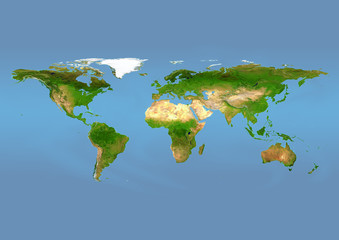
#267036019
-
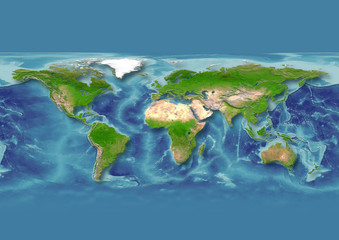
#242106724
-
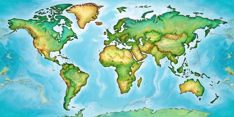
#1079594315

-
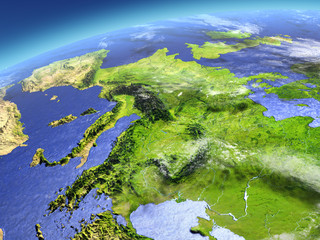
#1205735015
-
#158684029
-
#242107832
-
#973694158

-
#140247997
-
#1146783038

-
#1178343280

-
#190091364

-
#1012093290

-
#934867030

-
#908527370
-
#966753694

-
#659229127
-
#867698798

-
#632484663
-
#1009213371

-
#183546232
-
#345875142

-
#1101666890

-
#713291210

-
#868203319

-
#971529245
