Koszyk
0
Produkt
Produkty
(pusty)
Brak produktów
To be determined
Wysyłka
0,00 zł
Razem
Produkt został dodany do Twojego koszyka
Ilość
Razem
Ilość produktów w koszyku - 0
Masz 1 produkt w koszyku.
Koszt produktów
Koszt wysyłki
To be determined
Razem
Filtruj
Kategorie
Obraz
-
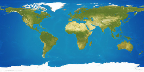
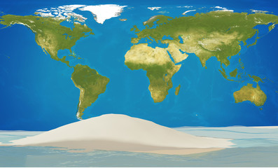
#97580792
-
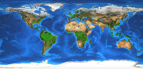
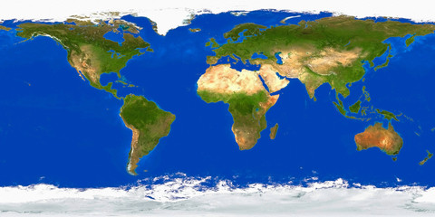
#1028139352

-
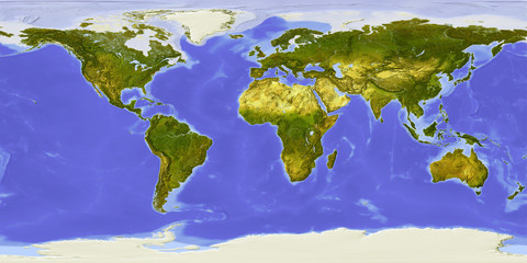
#1012093570

-
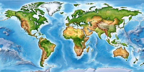
#10066577
-
#1026642387

-
#1179664462

-
#1178341438
-
#910849980

-
#214171041
-
#966967708

-
#1031000052

-
#989856225

-
#1009307114

-
#187672259
-
#1011554867

-
#935135022

-
#955041960

-
#1026344650

-
#1021239030

-
#992683591

-
#1187913166

-
#1020889645

-
#1008474473

-
#1170953512

-
#211179450