Filtruj

Słowa kluczowe

Typ


Opcje


Orientacja


Osoby


Rozmiar


Kolor

Wyniki wyszukiwania hydrografia

25 50 75 100
Sortowanie
  • #554203094 Concept de fond - Vue aérienne du relief d'une chaine de volcan - Rendu 2d modèle numérique de terrain  et courbes de niveau
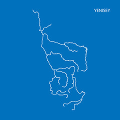
  • #454638627 Map of Yenisey river drainage basin. Simple thin outline vector illustration.
  • #379231309 India states - map of Uttar Pradesh. Hand made. Rivers and lakes are shown. Please look at my other images of cartographic series - they are all very detailed and carefully drawn by hand WITH RIVERS A
  • #111467604 Geneigte Pegellatte an einer Betonstiege
  • #125645446 Pantano de Maja Robledo en el río Hurdano, Las Hurdes, provincia de Cáceres, España
  • #83411730 Istanbul, Turkey. Buoy in the Bosporus
  • #96780325 gros plan sur cascade de Grand Galet, Langevin, île de la Réunion
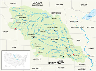
  • #385626155 Vector map of the Missouri River Drainage Basin, United States, Canada
  • #85589061 the planet among human hands in concept  Healthy oceans  healthy
  • #71119483 Presa del Embalse de Contreras, obras públicas, Júcar
  • #596347541 Transport and tour line icons collection. Topography, Projection, Mapmaking, Geography, Navigation, Terrain, Atlas vector and linear illustration. Compass,Surveying,Cartographer outline Generative AI
  • #85651424 Khao Lak Light Beacon, Phang Nga, Thailand
  • #508938257 Hydrography day vector flat illustration with lighthouse, ship and bottom map
  • #842114384 Hydrodraphy day greeting card. Vector illustration with lighthouse and seagulls. lighthouse design template.  vector design for banner, poster, postcard. Eps 10
  • #97702271 torrente
  • #70361986 Diga di Goillet - Valle d'Aosta - 2.158 m s.l.m.
  • #25080261 goutte
  • #760124563 Water background with maps template vector
  • #439032098 Hydrology diagram showing precipitation, groundwater and water evaporation. Marine and lake hydrometry. The work of a hydrologist. The water cycle. Vector image in flat style
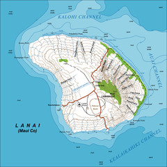
  • #128976445 Detailed large-scale topographic map of Lanai Island, Hawaii, with contour lines at 200-foot intervals. Vector illustration, editable, fully layered. Can be used as a base for creating thematic maps.
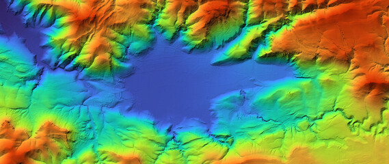
  • #557839571 Concept de fond - Erosion - Vue aérienne de paysage vallonné territoire montagneux - Rendu 3d modèle numérique de terrain avec colorisation hypsométrique
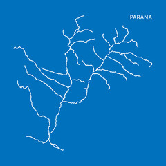
  • #454636771 Map of Parana river drainage basin. Simple thin outline vector illustration.
  • #379230126 India states - map of Haryana. Hand made. Rivers and lakes are shown. Please look at my other images of cartographic series - they are all very detailed and carefully drawn by hand WITH RIVERS AND LAK
  • #67883103 Vallée de la Bièvre, Jouy en Josas
  • #84873521 Rebosadero del embalse del Montoro, Ciudad Real, España
25 50 75 100
Sortowanie