Koszyk
0
Produkt
Produkty
(pusty)
Brak produktów
To be determined
Wysyłka
0,00 zł
Razem
Produkt został dodany do Twojego koszyka
Ilość
Razem
Ilość produktów w koszyku - 0
Masz 1 produkt w koszyku.
Koszt produktów
Koszt wysyłki
To be determined
Razem
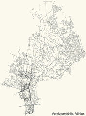
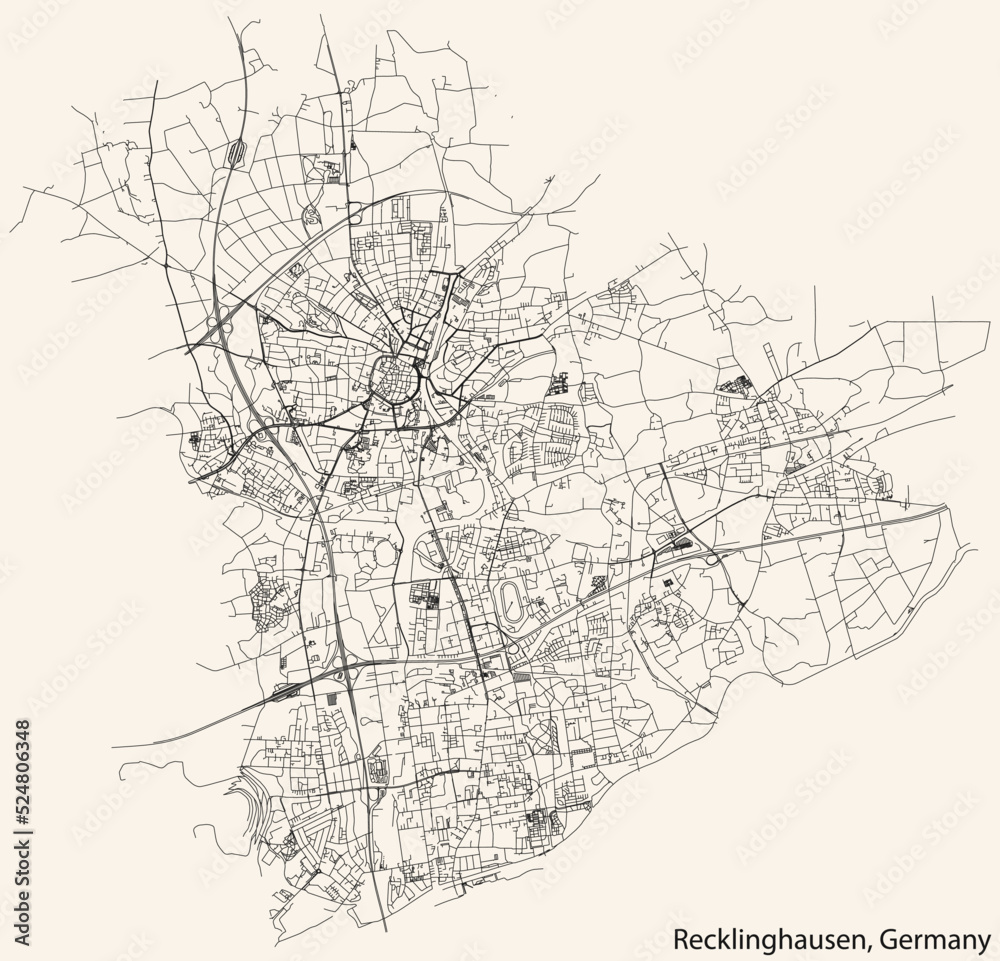
Detailed navigation black lines urban street roads map of the German regional capital city of RECKLINGHAUSEN, GERMANY on vintage beige background #524806348
Ładowanie fotografii...
+
-
© Momcilo
Generuj link do kompozycji
Końcowy wydruk nie będzie zawierał znaków wodnych widocznych na podglądzie.
W celu zmiany rozmiaru całego obrazka proszę zaznaczyć pole - " Zachowaj pełny kadr ". Po wprowadzeniu jednego z wymiarów - szerokości lub wysokości - drugi wymiar zostanie wyliczony automatycznie.
Wydruki, których jeden z rozmiarów jest mniejszy niż 102 lub 130 cm ( w zależności od materiału ), mogą być wydrukowane w jednym brycie w zależności od rozmiarów.
Staramy się tak dopasować szerokości brytów, aby uzyskać jak najmniej połączeń.
Staramy się tak dopasować szerokości brytów, aby uzyskać jak najmniej połączeń.
Kleje do tapet znajdują się w dziale - Kleje do tapet
W razie jakichkolwiek pytań prosimy o kontakt tel. 500 100 907
Wprowadź swoje wymiary w cm :
Szerokość [cm]
xmax:
Wysokość [cm]
max:
Rodzaj wydruku
Podkład
Laminat
Kadr
Pojedynczy obraz

Kadr
Cena przed rabatem: 0zł
Rabat: 0zł
Cena: 0zł
Ilość
+ Dodaj do ulubionych
Więcej informacji
Obraz drukowany na Canvasie do samodzielnego oprawienia.
Produkt nie zawiera ramek.
Wydruk w 1 brycie o jednym krótszym wymiarze
do 130 cm.
Wizualizacje produktu
Podobne zdjęcia - kliknij
Inne zdjęcia w tej kategorii
fototapety, fototapeta, fototapeta na wymiar,
asfalt,
samochód,
kartografia,
gród,
wspólnota,
krzywa,
dane,
projektować,
kierunek,
global positioning system,
rząd,
autostrada,
dom,
ikona,
ilustracja,
podróż,
ląd,
mapa,
góra,
zarys,
patriotyzm,
planowanie,
droga,
znak,
symbol,
miasto,
ruchu,
transport,
podróż,
wektor,
herb,
niemiecki,
berlin,


