Koszyk
0
Produkt
Produkty
(pusty)
Brak produktów
To be determined
Wysyłka
0,00 zł
Razem
Produkt został dodany do Twojego koszyka
Ilość
Razem
Ilość produktów w koszyku - 0
Masz 1 produkt w koszyku.
Koszt produktów
Koszt wysyłki
To be determined
Razem
Filtruj
Kategorie
Fototapeta
-
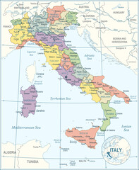
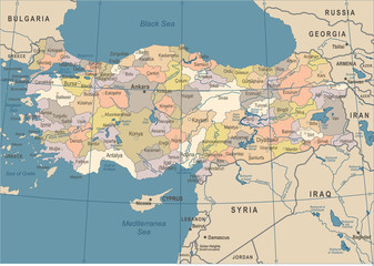
#185421686
-
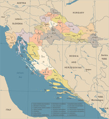
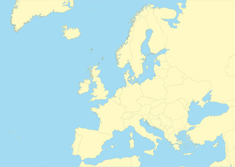
#377922661
-
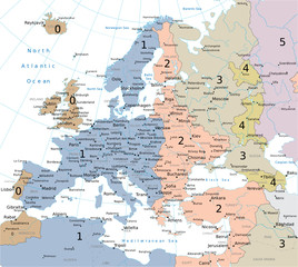
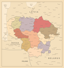
#87817099
-
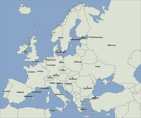
#537600854
-
#512658036
-
#127696597
-
#185305043
-
#608771331
-
#183181697
-
#6728160
-
#38493055

-
#82517813
-
#608771280

-
#180133399
-
#180132585
-
#533653933
-
#200746136
-
#279553666
-
#88118792
-
#92708576
-
#262257392
-
#179310133
-
#144583833
-
#526752076
-
#189999981