Koszyk
0
Produkt
Produkty
(pusty)
Brak produktów
To be determined
Wysyłka
0,00 zł
Razem
Produkt został dodany do Twojego koszyka
Ilość
Razem
Ilość produktów w koszyku - 0
Masz 1 produkt w koszyku.
Koszt produktów
Koszt wysyłki
To be determined
Razem
Filtruj
Kategorie
Naklejka na ścianę
-
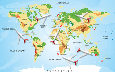
#567532183
-
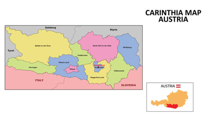
#112683844

-
#469878745

-
#97973769
-
#434413138
-
#599601731
-
#618384790
-
#542357775
-
#113788774
-
#428685127

-
#174876638
-
#20747035
-
#618361769
-
#57531060
-
#618361806
-
#405000276
-
#515052833
-
#311772292
-
#37546946
-
#528623097
-
#558008120
-
#666952915
-
#398322816
-
#521207540
-
#542357663