Koszyk
0
Produkt
Produkty
(pusty)
Brak produktów
To be determined
Wysyłka
0,00 zł
Razem
Produkt został dodany do Twojego koszyka
Ilość
Razem
Ilość produktów w koszyku - 0
Masz 1 produkt w koszyku.
Koszt produktów
Koszt wysyłki
To be determined
Razem
Filtruj
Kategorie
Fototapeta
-
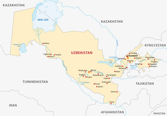
#262251579
-
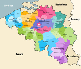
#110339729
-
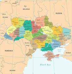
#608770843
-
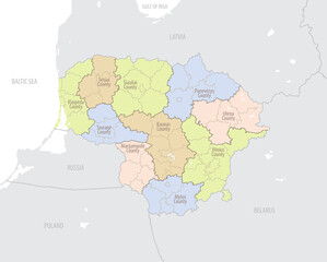
#677178727

-
#512658034
-
#555164638
-
#317223073
-
#358738160
-
#195318341
-
#186113058
-
#474830828
-
#512658120
-
#687221829
-
#177262449
-
#513406490
-
#341258014
-
#72531750
-
#330942368
-
#184829453
-
#398065402
-
#193487501
-
#512653488
-
#37711637
-
#64700355
-
#515310917