Koszyk
0
Produkt
Produkty
(pusty)
Brak produktów
To be determined
Wysyłka
0,00 zł
Razem
Produkt został dodany do Twojego koszyka
Ilość
Razem
Ilość produktów w koszyku - 0
Masz 1 produkt w koszyku.
Koszt produktów
Koszt wysyłki
To be determined
Razem
Filtruj
Kategorie
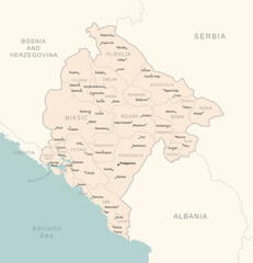
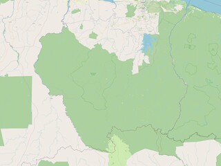
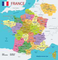
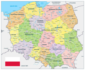
Fototapeta
-
#169927897
-
#49677623
-
#489372385
-
#687222138
-
#575897324
-
#376507163
-
#446450528
-
#39172498
-
#73732316
-
#50120767
-
#169927139

-
#406036990
-
#516172287
-
#51816575
-
#608707439
-
#506854999
-
#45287398
-
#191186064
-
#539315615

-
#520694526
-
#52421452
-
#269567917
-
#302448511
-
#513406488
-
#172695435