Brak produktów
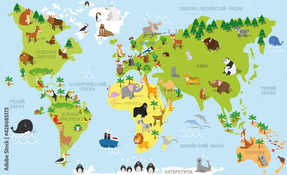
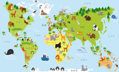
Funny cartoon world map in russian with traditional animals of all the continents and oceans. Vector illustration for preschool education and kids design #428685173
W celu zmiany rozmiaru całego obrazka proszę zaznaczyć pole - " Zachowaj pełny kadr ". Po wprowadzeniu jednego z wymiarów - szerokości lub wysokości - drugi wymiar zostanie wyliczony automatycznie.
Staramy się tak dopasować szerokości brytów, aby uzyskać jak najmniej połączeń.
Kleje do tapet znajdują się w dziale - Kleje do tapet
W razie jakichkolwiek pytań prosimy o kontakt tel. 500 100 907

Więcej informacji
Podkłady do druku:
- Flizelina - łatwa w aplikacji, przepuszczająca powietrze, pozwalająca ukryć lekkie niedoskonałości ściany. Tapeta o miłej klasyczne fakturze. Klejem smarujemy tylko ścianę.
- Winyl na Flizelinie - tapeta winylowa na podkładzie z flizeliny, łatwa w aplikacji , zmywalna, znakomita jakość wydruku. NIe wymaga laminowania. Klejem smarujemy tylko ścianę.
- Latex Premimum 212g - matowy, wysokiej jakości fotorealistyczny papier powlekany lateksem. Tapetę aplikujemy jak zwykłą tapetę papierową.
Przed aplikacją prosimy o zapoznanie się z dołączoną instrukcją.
Wizualizacje produktu
Podobne zdjęcia - kliknij
-
#428685127

-
#428685173

-
#428685196
-
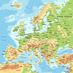
#99962679
-
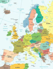
#428685026

-
#428685007
-
#428687849

-
#428687820
-
#428687747

Inne zdjęcia w tej kategorii
-
#50465288
-
#116809554
-
#51078712
-
#52270194
-
#29924341
-
#96052492
-
#117675810
-
#88119682
-
#180133341