Koszyk
0
Produkt
Produkty
(pusty)
Brak produktów
To be determined
Wysyłka
0,00 zł
Razem
Produkt został dodany do Twojego koszyka
Ilość
Razem
Ilość produktów w koszyku - 0
Masz 1 produkt w koszyku.
Koszt produktów
Koszt wysyłki
To be determined
Razem
Filtruj
Kategorie
Fototapeta
-
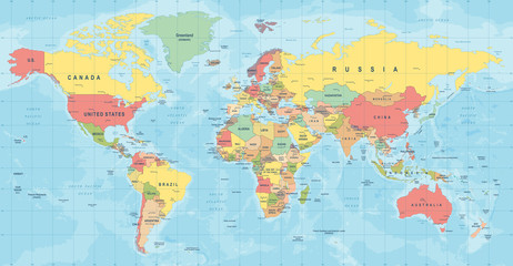
#608776565
-
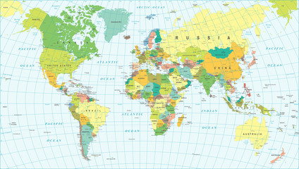
#392071786
-
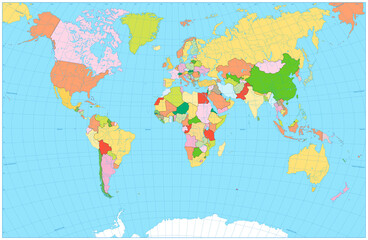
#392489595
-
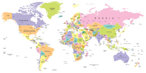
#190910334
-
#392070443
-
#648210275

-
#96052492
-
#403414441
-
#416654367
-
#758409192
-
#407967166
-
#407966745
-
#163350535
-
#110532897
-
#408066617
-
#110526077
-
#359553775
-
#424055313
-
#110526059
-
#90250125
-
#160968412
-
#118274355
-
#508278389
-
#468171607
-
#403414422