Koszyk
0
Produkt
Produkty
(pusty)
Brak produktów
To be determined
Wysyłka
0,00 zł
Razem
Produkt został dodany do Twojego koszyka
Ilość
Razem
Ilość produktów w koszyku - 0
Masz 1 produkt w koszyku.
Koszt produktów
Koszt wysyłki
To be determined
Razem
Filtruj
Kategorie
Obraz
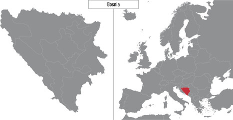
-
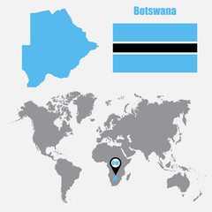
#350731670
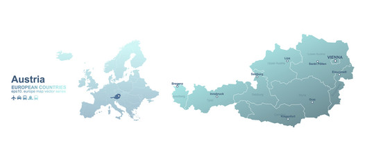
-
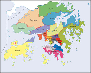
#647101140
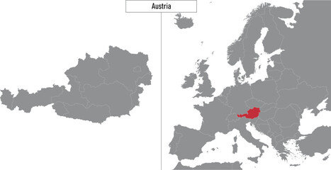
-
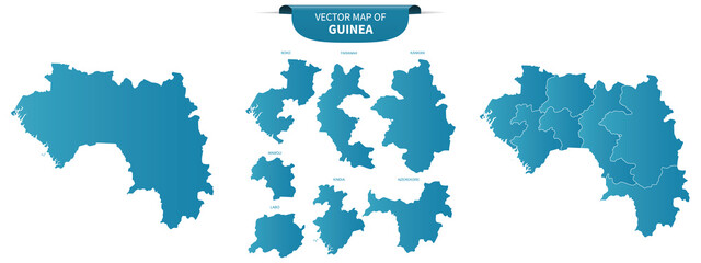
#548604526
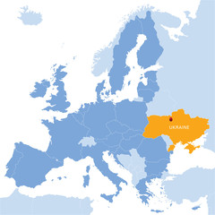
-
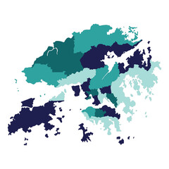
#273647504
-
#32906865
-
#374702853
-
#670239870
-
#219709513
-
#374702608
-
#473006024
-
#256138586
-
#142075183
-
#519786806
-
#59228473
-
#265275887
-
#344801842
-
#426039886
-
#647101633
-
#360342884
-
#647100427
-
#353287292
-
#647100159
-
#59231795
-
#273694828
-
#60176715