Koszyk
0
Produkt
Produkty
(pusty)
Brak produktów
To be determined
Wysyłka
0,00 zł
Razem
Produkt został dodany do Twojego koszyka
Ilość
Razem
Ilość produktów w koszyku - 0
Masz 1 produkt w koszyku.
Koszt produktów
Koszt wysyłki
To be determined
Razem
Filtruj
Kategorie
Naklejka na ścianę
-
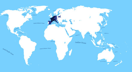
#779503732

-
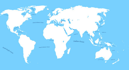
#727188028

-
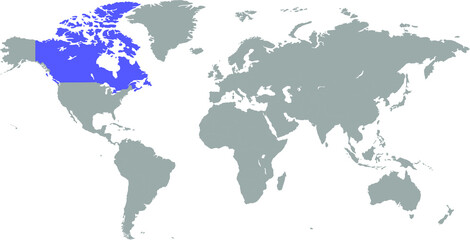
#10431132
-
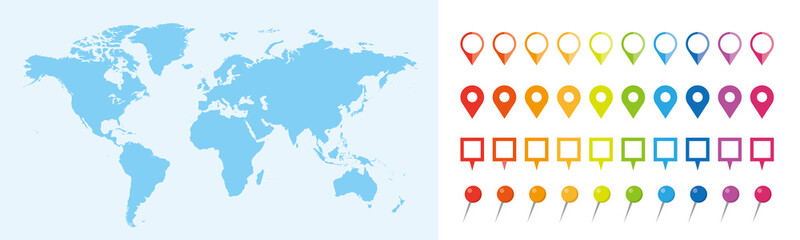
#334741388

-
#498901472
-
#490650878

-
#494649000

-
#351248102

-
#494658934
-
#659937012

-
#295057425

-
#548434922

-
#506263757
-
#521018784

-
#498901445
-
#383813742
-
#24813086

-
#308515972
-
#528709518
-
#52922952

-
#760481711
-
#503985716
-
#670506161
-
#21550964

-
#528705720