Koszyk
0
Produkt
Produkty
(pusty)
Brak produktów
To be determined
Wysyłka
0,00 zł
Razem
Produkt został dodany do Twojego koszyka
Ilość
Razem
Ilość produktów w koszyku - 0
Masz 1 produkt w koszyku.
Koszt produktów
Koszt wysyłki
To be determined
Razem
Filtruj
Kategorie
Fototapeta
-
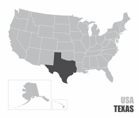
#710166344
-
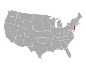
#486067157
-
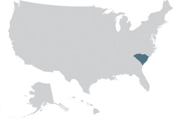
#781575557
-
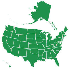
#92513143
-
#112668917
-
#315032131
-
#707747009
-
#477671365
-
#477671375
-
#707747228
-
#401996460
-
#380371384
-
#314659052
-
#644860772
-
#58843691
-
#624944759
-
#278166527
-
#667904058

-
#779887894
-
#417532120
-
#671181395
-
#88695972
-
#469338253

-
#112714896
-
#112790722