Koszyk
0
Produkt
Produkty
(pusty)
Brak produktów
To be determined
Wysyłka
0,00 zł
Razem
Produkt został dodany do Twojego koszyka
Ilość
Razem
Ilość produktów w koszyku - 0
Masz 1 produkt w koszyku.
Koszt produktów
Koszt wysyłki
To be determined
Razem
Filtruj
Kategorie
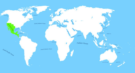
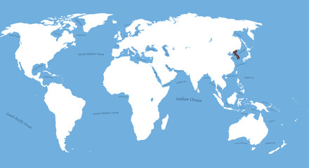
Obraz
-
#503985716
-
#670506161
-
#528705720
-
#403125333
-
#503985688
-
#64048148
-
#530745268
-
#528713719
-
#29108301
-
#208421537

-
#323625675
-
#110796220
-
#6140320
-
#510538249
-
#354369760
-
#322183330
-
#2914273
-
#580556846
-
#717451990
-
#529230508
-
#510585945
-
#21637049
-
#537857305
-
#243799142

-
#532222166